
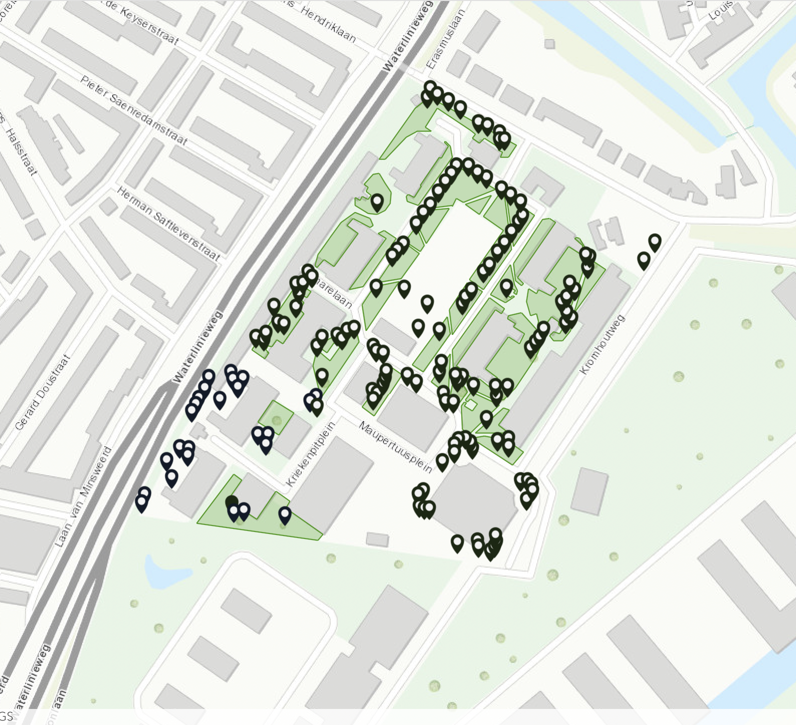
Vector
In this vector data, I used existing data from Gemeente Utrecht which has data on the number and types of trees in Utrecht. I found that in certain places, data was missing. This was the case within University College Utrecht. This led me to examine the campus' greeness. I firstly identified each tree on campus through a point, followed by "green" areas. These areas were any areas that had any types of plants, this ranged from just grass to bushes and gardens. This map was created through Esri online where I created two layers - one for individual trees and the other for the green areas. The map I created could be added to the existing data of Gemeente Utrecht in order to further complete the data.