
Choropleth
Compares marine protected areas and forested areas.
In this portfolio, I show the renderings of my GIS exploration through different programs and data sets. In GIS, we explore a range of datasets whether that is through making it, analysing it, or creating maps to represent it.
Compares marine protected areas and forested areas.

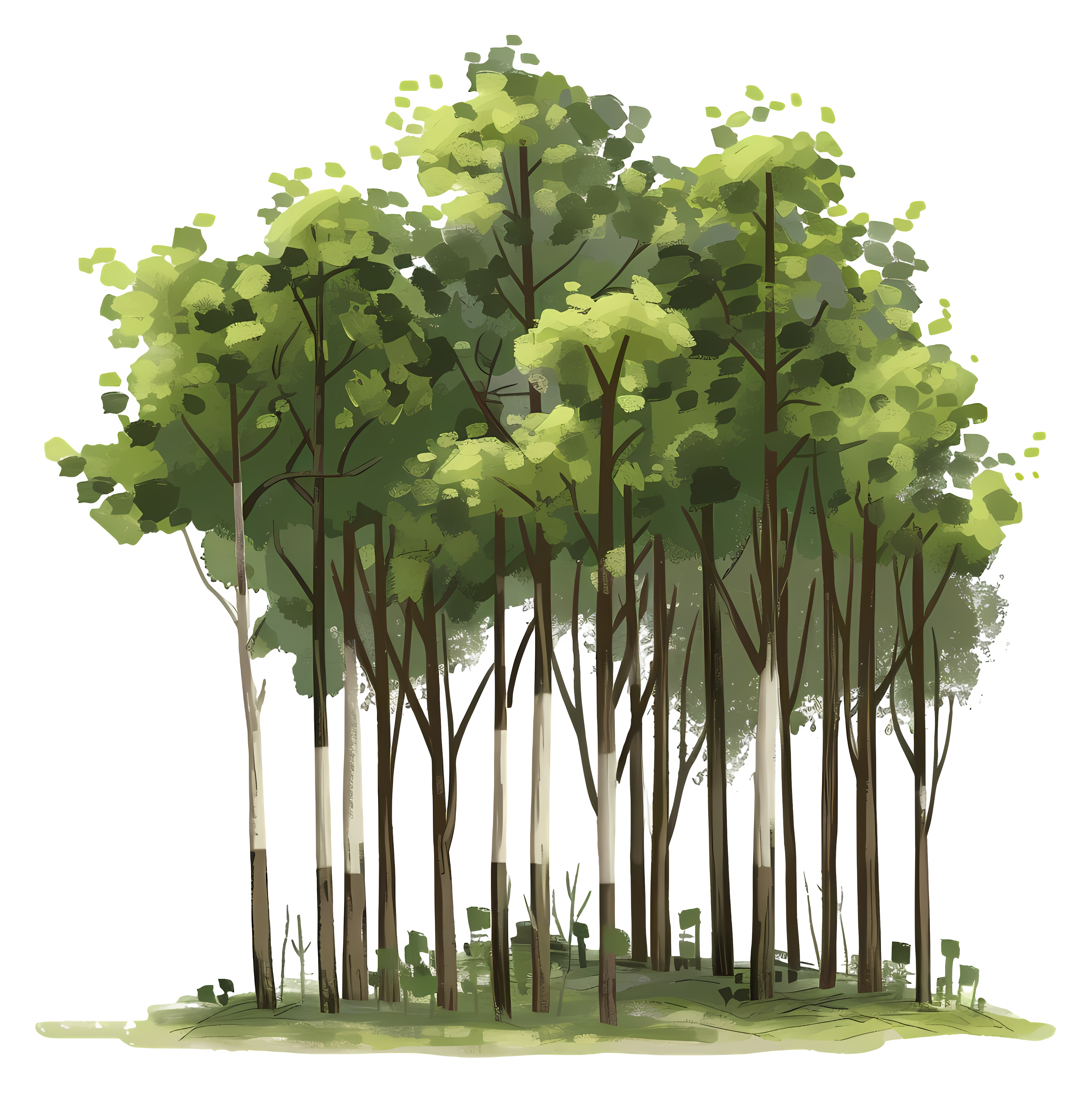
Data on trees and green spaces in University College Utrecht.
Identifying land coverage based on satelite imaging and classification systems in Utrecht.
3D Visualisation of Utrecht Science Park.
Exploring changes in elevation in the Netherlands.
Exploring carbon in relation to plants in Tahiti.